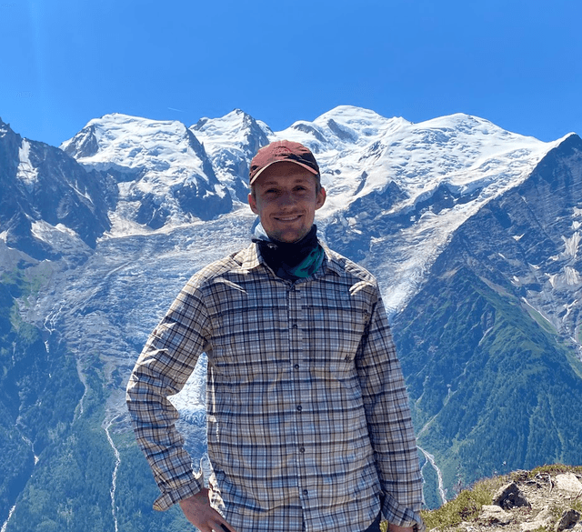

The Tour du Mont Blanc (TMB) is one of Europe's great alpine hikes - a 170 km (106 mile) loop around Mont Blanc through France, Italy, and Switzerland. Expect glacier views, high cols, refuges buzzing with hikers, and three countries' worth of food in about 11 days. It is a proper mountain trip, not a casual stroll, but thousands of hikers finish every summer without mountaineering skills. If you want to jump straight into the accommodation planning, I've written a separate guide on the best places to stay on the Tour du Mont Blanc.

Tour du Mont Blanc in more detail
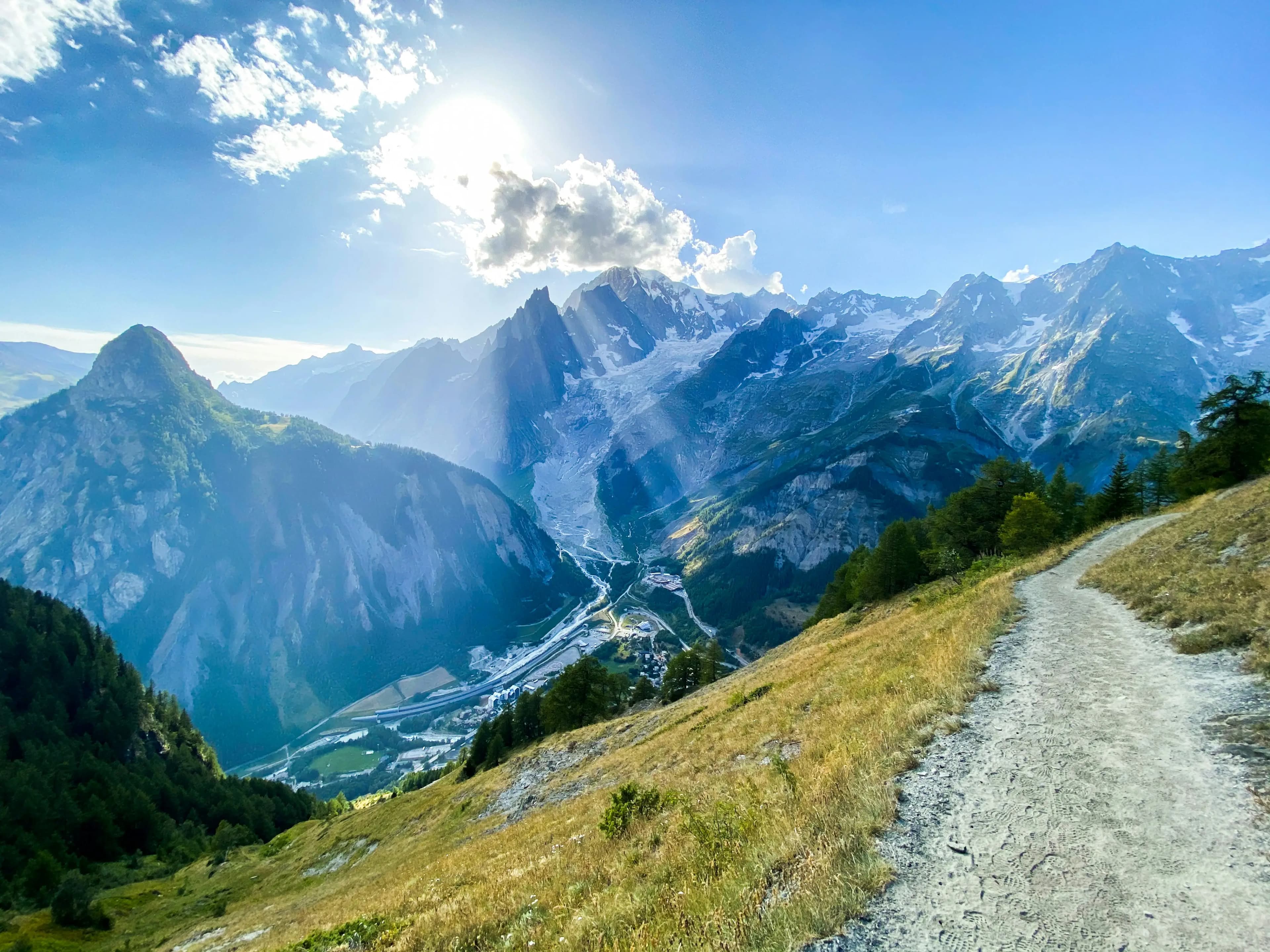
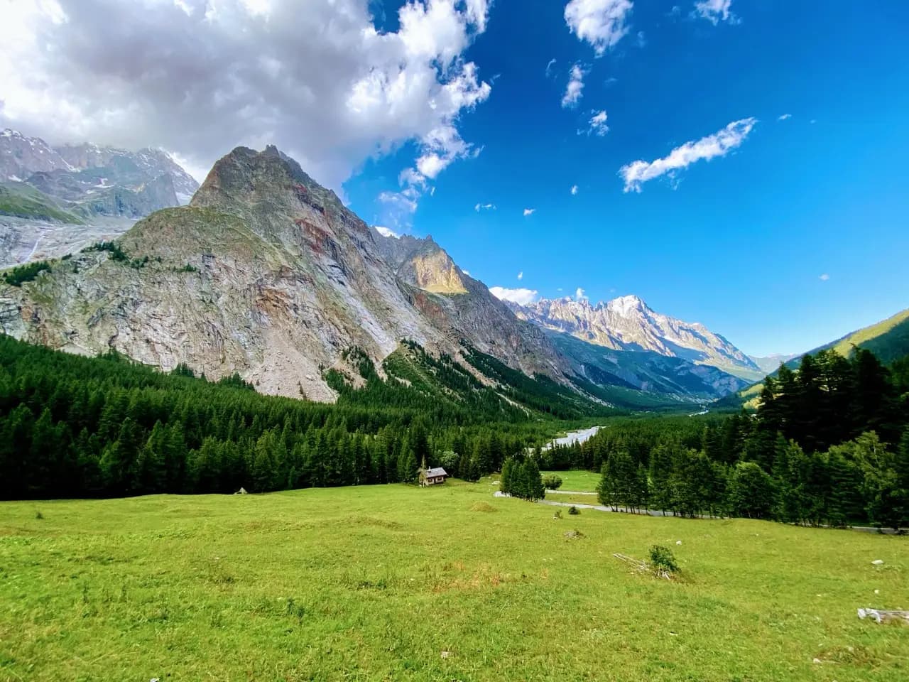
The TMB is a circular route around the Mont Blanc massif in the western Alps. You walk roughly 170 km with around 10,000 m of total elevation gain - so expect long ups and long downs most days. The trail crosses three countries: you start in France, dip into Italy around Courmayeur, then cross into Switzerland over Grand Col Ferret before looping back to the Chamonix valley.
It is not a wilderness expedition. You pass through villages, refuges, and busy mountain towns most days. That is a feature, not a bug: hot showers, restaurant dinners, and luggage transfer are all part of the standard TMB experience. On paper some stages look short. In practice the steady climbing at altitude adds up, and a 12 km day with 1,400 m of gain can feel like a full day's work.


Where does the trail start and finish?
The official starting point is Les Houches, in the Chamonix valley. Look for the TMB gate and info board - perfect for a pre-hike photo. Most people spend the night before in either Les Houches or nearby Chamonix. Chamonix has more restaurants, gear shops, and atmosphere; Les Houches puts you at the trailhead so you can walk straight onto the path in the morning. So in practice: arrive in Chamonix or Les Houches, start the loop from Les Houches, and finish back at the same gate 11 stages later.
Key stops along the classic anti-clockwise route include Les Contamines-Montjoie, Les Chapieux, Refugio Elisabetta, Courmayeur, Refugio Bonatti, La Fouly, Champex-Lac, Col de la Forclaz, Trient, and La Flégère before the final descent to Les Houches.

- Les Houches - Les Contamines-Montjoie (17-18 km)
- Les Contamines-Montjoie - Les Chapieux (18 km)
- Les Chapieux - Refugio Elisabetta (14 km)
- Lac Combal - Courmayeur (16 km)
- Courmayeur - Refugio Bonatti (12 km)
- Refugio Bonatti - La Fouly (19-20 km)
- La Fouly - Champex-Lac (15 km)
- Champex-Lac - Col de la Forclaz (14 km)
- Col de la Forclaz - Trient (14 km)
- Trient - La Flégère (7 km)
- La Flégère - Les Houches (17 km)

How long does it take to hike?
Most people complete the TMB in 10-12 hiking days, following the 11 standard stages above. Daily distances run from about 7 km on the short Trient-to-Flégère stage up to 20 km on the Bonatti-to-La Fouly day. Elevation gain per day is typically 700-1,400 m, with some bigger loss days thrown in.
Building in a rest day is worth it if your schedule allows. Courmayeur is the obvious pick - good food, gear shops, and a proper town to wander. Some hikers also slow down in Champex-Lac for an afternoon by the lake. If you are new to multi-day alpine hiking, err on the side of fewer kilometres per day rather than trying to compress the loop.


Which direction should you hike?
The standard and recommended direction is anti-clockwise: Les Houches, then east through the Contamines valley, over into Italy, across to Switzerland, and back to the Chamonix valley. Most guidebooks, refuge booking patterns, and trail chatter assume this direction. Logistics are straightforward, and you hit the big cols in a well-trodden order.
You can walk clockwise, and some hikers prefer it for quieter mornings on certain sections. There is no wrong way around a loop. Unless you have a specific reason to go clockwise, anti-clockwise is the default - and the one most of the planning resources assume.

How to get to the trail
Geneva Airport (GVA) is the most convenient hub - about 90 minutes to Chamonix by bus or shared shuttle. AlpyBus and similar services run direct transfers; book ahead in peak season. From Geneva you can also take trains via Martigny or Annecy, but the bus is usually simpler with hiking luggage.
Chamonix and Les Houches are linked by local bus and train (about 20 minutes). If you stay in Chamonix on night zero, allow time to reach Les Houches in the morning. At the end of the loop you finish in Les Houches and can hop straight to Chamonix for a celebration dinner - do not rush to the airport the same afternoon if you can avoid it.
The TMB is a loop, so you do not need a car. Public transport at both ends works well, and parking in the Chamonix valley is expensive and scarce in summer anyway.
Best time of year to hike
The main season runs from mid-June to mid-September. Outside that window, high passes can hold snow, refuges close, and days get short. July and August offer the most stable weather and fully open infrastructure, but also the biggest crowds - book refuges and hotels months ahead.
June and early September are my sweet spot if you want fewer people with still-reliable conditions. Valley temperatures in season are typically 15-25 °C, but it can drop quickly at 2,500 m, even in August. For a month-by-month breakdown, read when is the best time to hike Tour du Mont Blanc.
How difficult is the hike?
On paper the TMB looks like a long walk with big numbers. In practice it is a challenging but achievable trek for anyone with reasonable hiking fitness. You do not need ropes or crampons in a normal summer season, but you do need to handle 6-8 hours on your feet, steep descents that punish the knees, and weather that can change in an hour.
The hardest days are often the high-pass stages: Col du Bonhomme on stage 2, Col de la Seigne into Italy on stage 3, and Grand Col Ferret into Switzerland on stage 6. The final stage from La Flégère to Les Houches is long on descent - save something in the tank for day 11.
Altitude stays mostly below 2,600 m, so acute mountain sickness is uncommon, but you will feel the thin air on the cols. Trekking poles help on the downhills. Break in your boots before you fly to France - blisters at 2,000 m are miserable.


Can you hike it in sections?
Yes. The TMB is popular as a full loop, but nothing stops you from hiking individual stages or a shorter stretch. Courmayeur to La Fouly via Bonatti is a classic long-weekend slice. Champex-Lac to Trient works well as a shorter Swiss section. Day hikers around Chamonix can access parts of the final stages from La Flégère or the valley.
Popular side trips and variants fork off the main route too. Lac Blanc is a classic detour above Chamonix with turquoise alpine lake views. Fenêtre d'Arpette is a harder high-level variant over a 2,665 m pass - only attempt it in good weather and if you are comfortable on steep, exposed terrain.
The constraint is accommodation: refuges and small villages book up fast, so even a partial hike needs planning in peak season. Use the Planner to map out a shorter itinerary and check bed availability along your chosen stages.


Is the trail easy to follow?
Most of the time, yes. The TMB is well marked with red and white paint blazes, and the main route is heavily trafficked in season - you will rarely be alone on the path. At junctions and cols, signposts point to the next refuges and passes.
Still, carry a map. Cloud can roll in fast, and there are variant routes and shortcuts that fork off the main trail. We built the Tour du Mont Blanc Map app for exactly this - free, works offline, and has the full route with points of interest along the way. Give it a try and let us know what you think.
Where to stay along the trail
Accommodation on the TMB is a mix of hotels, auberges, refuges, and campsites. Town stops like Les Contamines, Courmayeur, and Champex give you proper hotels and restaurants. High-mountain stages - Elisabetta, Bonatti, La Flégère - mean dorm-style refuge nights with set dinners and early breakfasts. Camping is also an option at official sites in places like Les Chapieux and near Trient.
Prices vary a lot by country and season. Expect roughly €40-80 per night in refuges (half-board often included) and €80-150+ for hotels in towns. The Swiss stages are noticeably pricier than France or Italy. Beds in small villages like Les Chapieux and Trient are limited, so book early - especially for July and August.
I've put together a stage-by-stage draft for hikers who want a hotel or comfortable refuge every night in the best places to stay on the Tour du Mont Blanc guide. Use our Planner to browse all options and build your own itinerary.


Food and drink options
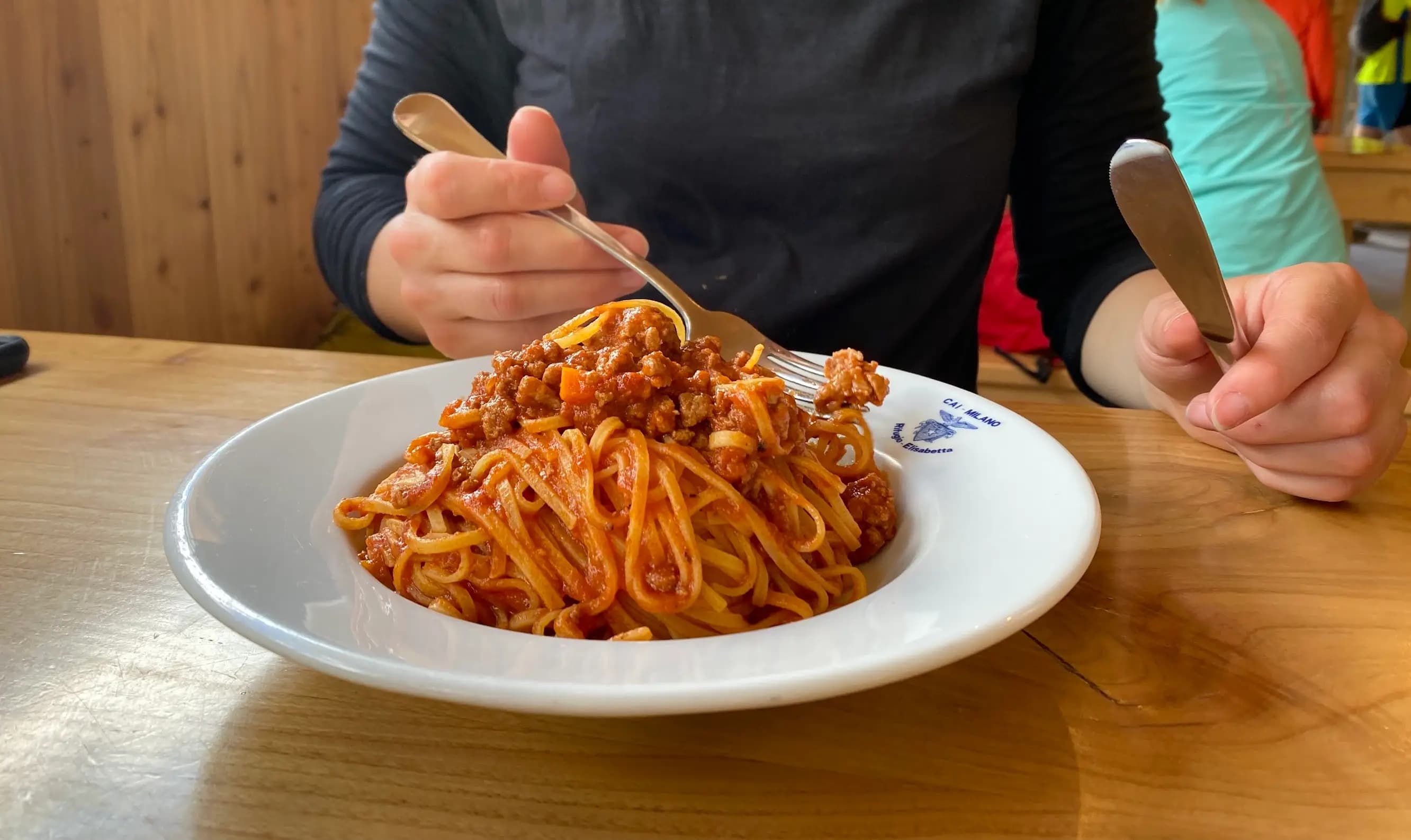
Let's be honest - a big motivator for hiking the TMB is the food. You eat across three countries in just over a week: tartiflette and croissants in France, pasta and gelato in Italy, raclette and rosti in Switzerland. Refuges serve hearty set menus - soup, stew, and plenty of carbs - and town stops let you choose your own dinner.
For a deeper dive into what to expect, read eating adventures on the Tour du Mont Blanc. A few highlights worth ordering when you see them:
- Ravioli al burro at Refugio Elisabetta - rich, simple, and exactly what you want after Col de la Seigne
- Tartiflette or fondue in the French and Swiss valleys - melted cheese is trail fuel
- A proper espresso and gelato in Courmayeur - you crossed into Italy, so lean in
You do not need to carry much food. Villages and refuges feed you most days. Carry snacks for between stops - nuts, bars, dried fruit - and budget for sit-down lunches at refuges on long stages. Water is available at refuges and villages; carry 1-2 litres and refill when you can. On hot days crossing exposed cols, 2-3 litres is safer.


What gear to bring
Pack for alpine weather, not beach weather. Sturdy, broken-in hiking boots or trail shoes with good grip matter more here than on a coastal path. Bring layers: base layer, fleece, and a waterproof jacket at minimum. Temperatures can swing 15 °C or more between a sunny col and a rainy valley.
Other essentials:
- Sun protection - hat, sunglasses, sunscreen (the UV is strong at altitude)
- Lightweight rain pants or a shell for sudden showers
- Trekking poles for long descents, especially into Courmayeur and on the final stage
- A 30-40 L pack if you are carrying your own gear; smaller if you use luggage transfer
- Headlamp for early starts and refuge dormitories
- Blister kit, basic first aid, and any personal medications
Refuges provide blankets but not sleeping bags on most nights - check whether you need a liner or light bag for dorm stays. A compact down jacket is worth the weight for evenings at altitude.
Luggage transfer services
Several luggage transfer companies operate on the TMB. They pick up your main bag at one accommodation and deliver it to the next, so you walk with a daypack only. This is the standard setup for many hikers and turns a heavy trek into something much more manageable.
Book transfer when you book accommodation - companies need to know your nightly stops. Not every refuge accepts luggage drop-offs, so check compatibility with your booking. Costs vary but expect roughly €10-15 per bag per stage in season.
What to do after completing the hike
You finish at the TMB gate in Les Houches. Take the photo - you have earned it. From there, most hikers head to Chamonix for a proper celebration: dinner, a beer, maybe a rest day before travelling home. Plenty of hotels sit in the centre of town - our best places to stay guide has a celebration-night pick if you want a head start.
Do not do what I did once and sprint straight to Geneva for a flight the same afternoon. Your legs will be tired, your feet might be sore, and Chamonix is a good place to sit still for a day and let the trip sink in. From Chamonix, buses and trains run to Geneva for flights, or south to Italy if your journey continues.


Key takeaways
- Book accommodation and refuges early - July and August fill months ahead
- Hike anti-clockwise from Les Houches for the standard route and easiest planning
- Build in a rest day in Courmayeur if you can
- Pack layers and rain gear - alpine weather changes fast
- Read the best places to stay on the Tour du Mont Blanc guide for a stage-by-stage accommodation draft
- Download the Tour du Mont Blanc Map app for offline navigation
- Stay an extra night in Chamonix at the end - you will thank yourself later